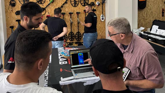
OKM Rover C4 | 3D Ground Scan Tutorial
Using the OKM Rover C4 for 3D Ground Scanning
In this detailed tutorial, OKM Americas VP Mark Harris walks you through the full process of performing a 3D Ground Scan using the OKM Rover C4. Filmed at OKM’s headquarters in Altenburg, Germany, this video provides an excellent, hands-on introduction to the capabilities of the Rover C4, from setup to final analysis. Whether you're new to ground scanning or looking to improve your skills, it will guide you through every important step.
Setting Up the Rover C4 for a Successful Scan
Mark begins by introducing the Rover C4 and explaining the basic setup for performing a 3D scan in the field. In this case, the goal is to locate a metal pipe buried beneath the ground in a test field. He provides clear instructions on how to prepare the device, including setting up the scan parameters.

The process involves selecting the right mode for the scan and ensuring that all settings are configured for optimal results. Mark also demonstrates how to use the Bluetooth functionality to transfer data wirelessly to a laptop, making the process smooth and efficient.
Transferring Scan Data and Using Visualizer 3D Studio for Analysis
Once the scan is completed, Mark demonstrates how to wirelessly transfer the scan data from the Rover C4 to a laptop. The transfer process is straightforward, with the device automatically pairing with the laptop for easy data import. Mark explains how to ensure that the correct memory bank and impulse count are selected to guarantee accurate results. He then opens the scan data in Visualizer 3D Studio (V3DS), the software used to analyze and interpret the scan results. The 3D visualization reveals a clear, strong signal indicating the presence of a ferromagnetic object—exactly what was expected, confirming the buried pipe’s location.
Using V3DS's Scan Field Overlay for Precise Location Identification
One of the highlights of this video is Mark’s demonstration of V3DS’s "Scan Field Overlay" feature. This allows users to overlay an image of the test field onto the 3D scan, providing a more detailed view of the subsurface and helping to verify the accuracy of the scan. Mark walks through the process of aligning the image with the scan data, making it easy to pinpoint the exact location and depth of the target object.
This video offers practical insights into using the OKM Rover C4 for effective ground scanning. By following Mark’s step-by-step guide, you’ll gain a deeper understanding of how to set up, scan, analyze, and interpret data, ensuring that your own scans are just as successful.


